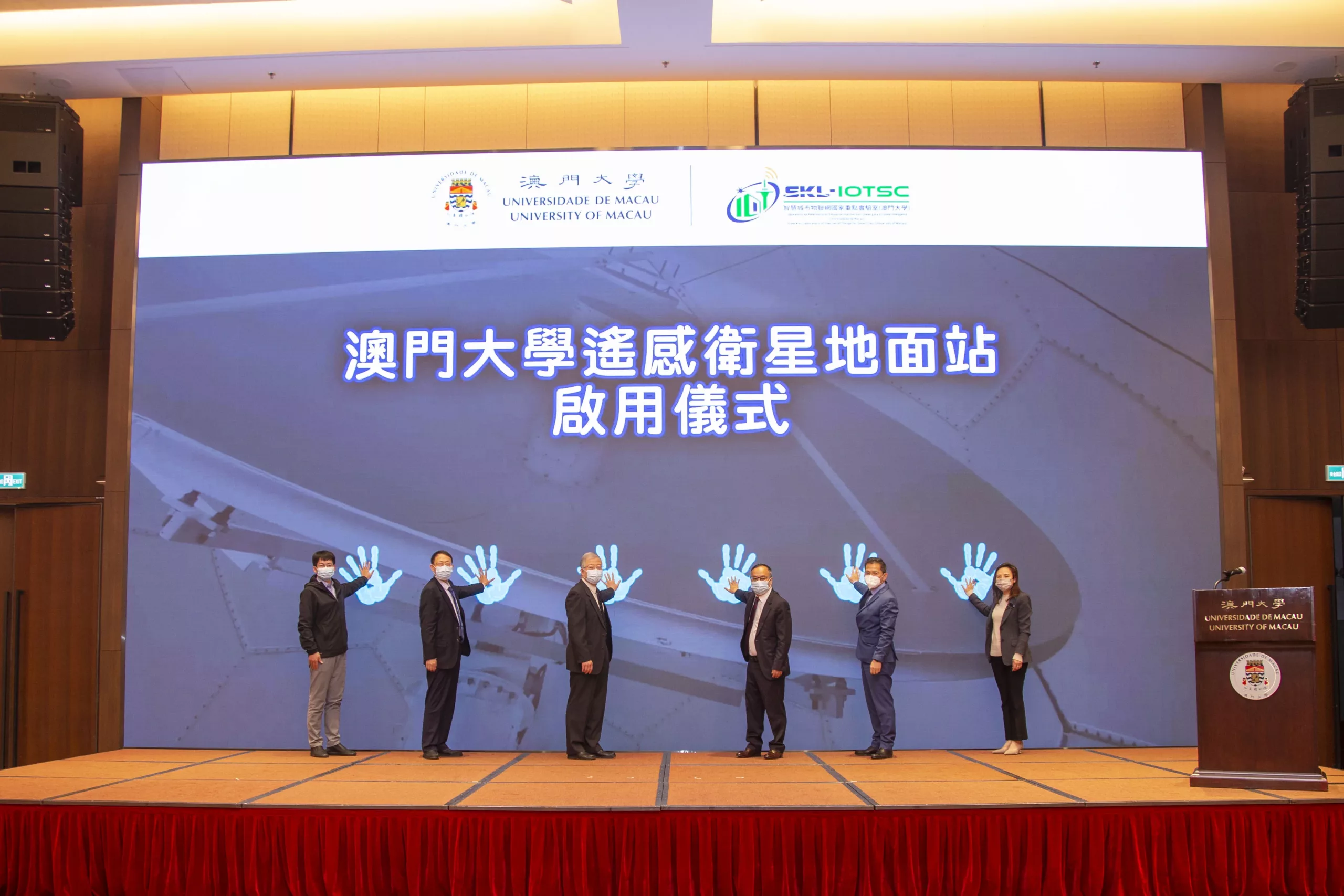
The Inauguration Ceremony of the Satellite Ground Station of the University of Macau (UM) and Symposium on Disaster and Ocean Remote Sensing Technologies was recently held at UM. The event was organised by the State Key Laboratory of Internet of Things for Smart City (SKL-IOTSC) of UM, with assistance from the Department of Ocean Science and Technology of UM’s Faculty of Science and Technology (FST), the Aerospace Information Research Institute of the Chinese Academy of Sciences (CAS), and the State Key Laboratory of Satellite Ocean Environment Dynamics (Second Institute of Oceanography of the Ministry of Natural Resources). The symposium attracted many experts and scholars from mainland China, who during the event discussed innovations in remote sensing technology and their applications in urban disaster prevention and marine environment protection.
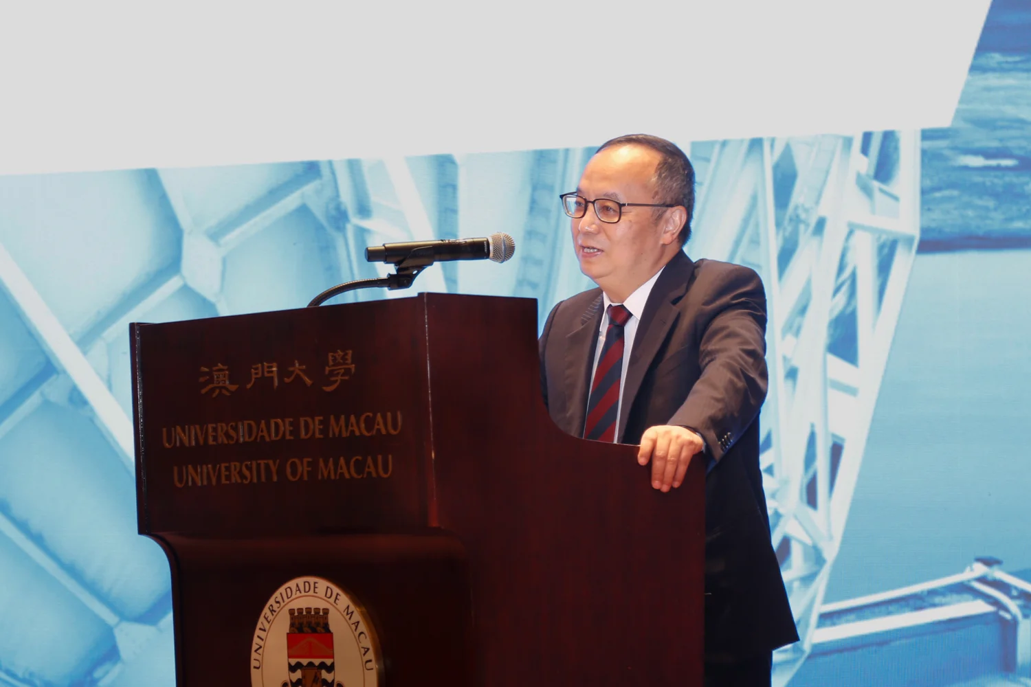
In his speech, Yonghua Song, rector of UM and director of the SKL-IOTSC, said that the university has been active in promoting marine research and using advanced theories and technologies in interdisciplinary fields, such as Internet of Things, big data, artificial intelligence, and satellite remote sensing, to identify, monitor, and predict natural disasters in coastal cities and conduct research on disaster prevention and mitigation measures. The university also established the Department of Ocean Science and Technology under the FST last November to further promote marine research in Macao. According to Song, the remote sensing satellite ground station can receive data from meteorological satellites and high-definition satellites, which greatly improves the observation accuracy for detecting key elements of disasters and regional detection capability. The establishment of the station also marked the deep integration of marine science, Internet of Things, and remote sensing technology, and he expected the station to further optimise the university’s resources and provide real-time and high-precision data for future studies on topics such as climate change, typhoons and rainstorms, the marine environment, and air pollution in coastal cities, thus contributing to the development of urban public safety systems.
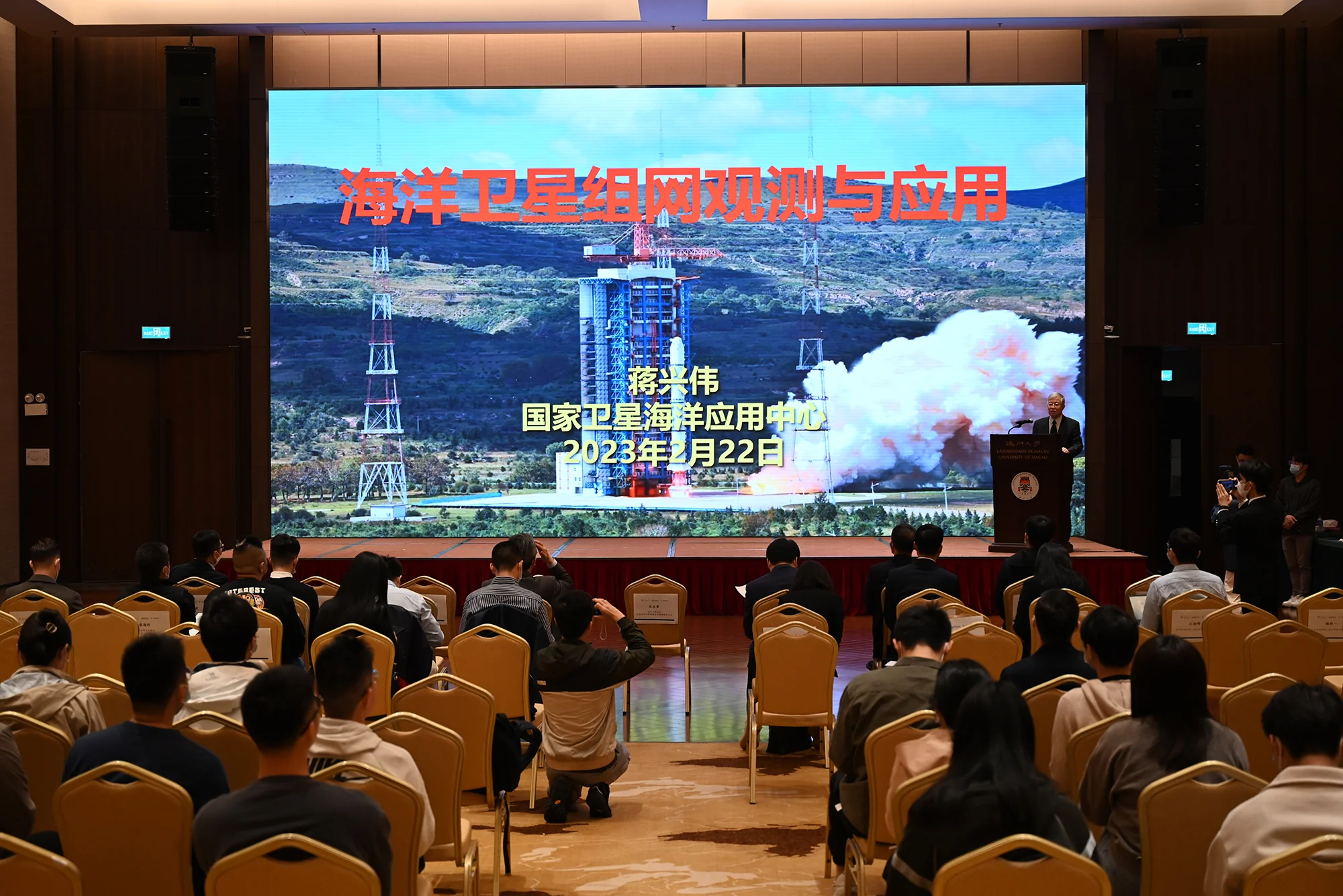
The keynote speakers at the symposium were Jiang Xingwei, member of the Chinese Academy of Engineering and researcher of the National Satellite Ocean Application Service; Gu Xingfa, director of the National Engineering Research Center for Remote Sensing Satellite Applications of CAS and researcher of Aerospace Information Research Institute of CAS; and He Xianqiang, deputy director of Donghai Laboratory and researcher of the Second Institute of Oceanography of the Ministry of Natural Resources. During the event, experts and scholars in the field of remote sensing discussed theoretical innovations in the field and their practical applications in urban disaster prevention and marine environment protection. The event aimed to promote resource sharing and deepen cooperation and exchanges between mainland China and Macao, so as to contribute to the sustainable development of the marine environment.
Officiating guests at the inauguration ceremony included Cheang Kun Wai, member of the Administrative Committee of the Macao Science and Technology Development Fund, and Ip Chong Wa, member of the Administrative Committee of the Macao Post and Telecommunications Bureau. Other guests attending the event included Leong Weng Kun, director of the Meteorological and Geophysics Bureau, as well as representatives of the Marine and Water Bureau and the Environmental Protection Bureau.
Source: State Key Laboratory of Internet of Things for Smart City
由澳門大學智慧城市物聯網國家重點實驗室主辦,澳門大學科技學院海洋科學及技術系、中國科學院空天信息創新研究院及衛星海洋環境動力學國家重點實驗室(自然資源部第二海洋研究所)承辦的“澳門大學遙感衛星地面站啟用儀式暨災害與海洋遙感監測技術研討會”於澳大舉行,吸引眾多國內專家及學者參與,並於會上共同探討遙感監測技術在城市災害和海洋環境的創新和應用。
澳大校長及智慧城市物聯網國家重點實驗室主任宋永華致辭時表示,澳大積極發展海洋研究,利用物聯網、大數據、人工智能、衛星遙感及其他前沿交叉學科理論與技術,實現濱海城市災害識別、監測及預警,研究防災減災措施。澳大科技學院亦於去年11月正式成立海洋科學及技術系,進一步推動澳門海洋研究的發展。是次建立遙感衛星地面站,可接收氣象衛星、高分衛星數據,大幅提高災害要素的觀測精度和區域機動探測能力。接收站的建立標誌著海洋科學、物聯網、遙感技術等領域的深度融合,未來將進一步優化資源,為氣候變化、颱風暴雨、海洋環境、濱海城市空氣污染等領域的研究提供實時高精度數據,為城市公共安全保障體系建設貢獻澳大力量。
是次邀請中國工程院院士及國家衛星海洋應用中心研究員蔣興偉、中國科學院遙感衛星應用國家工程研究中心主任及空天信息創新研究院研究員顧行發、東海實驗室副主任及自然資源部第二海洋研究所研究員何賢強進行主旨報告,並邀請遙感領域多位專家學者共同探討遙感監測技術在城市災害和海洋環境中的理論創新和技術應用,期待以此為契機,推動內地與澳門資源共享,促進合作交流,助力海洋環境的可持續發展。
主禮嘉賓包括科學技術發展基金行政委員會委員鄭冠偉及郵電局行政委員會委員葉頌華;其他出席嘉賓包括地球物理暨氣象局局長梁永權、海事及水務局、環境保護局等政府代表。
新聞來源:智慧城市物聯網國家重點實驗室


