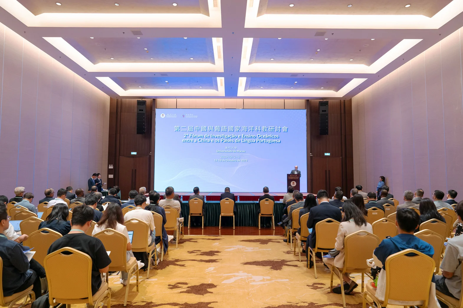
The University of Macau (UM) has focused on the development of ocean science in recent years. UM has established research centres, academic departments, and degree programmes to promote the cultivation of marine talent and innovative research and to support the development of Macao. Currently, UM’s research team is expanding frontier research in areas such as the prevention and control of water body pollution in the coastal waters of the Guangdong-Hong Kong-Macao Greater Bay Area (GBA), marine disasters, and the safety of coastal cities. UM researchers also collaborate with universities and research institutes at home and abroad to create an international platform for cooperation in ocean science and technology.
Emphasising ocean science development
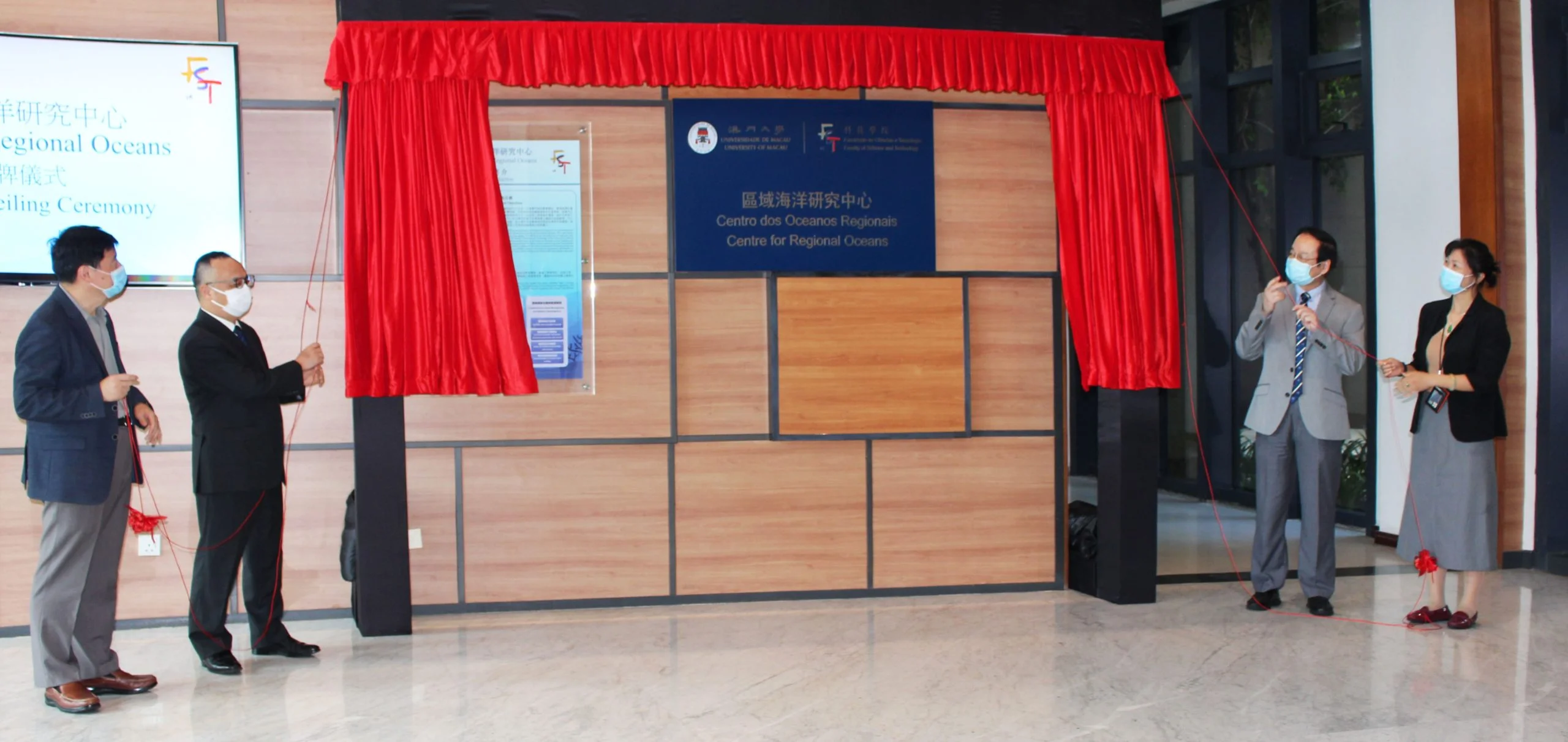
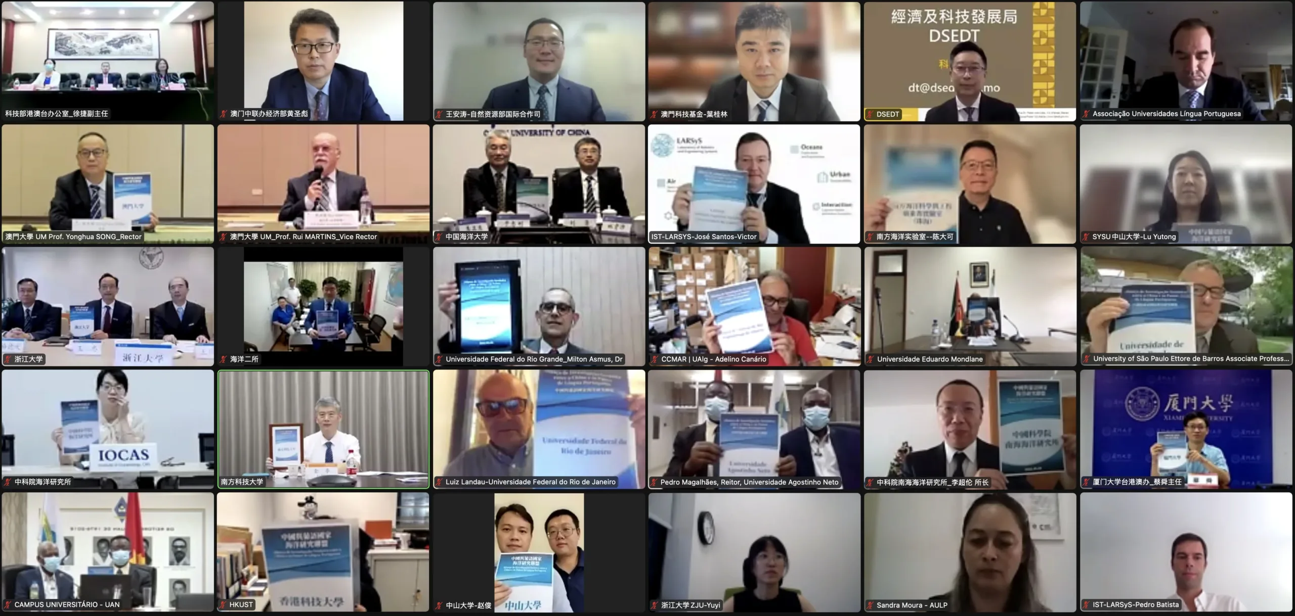
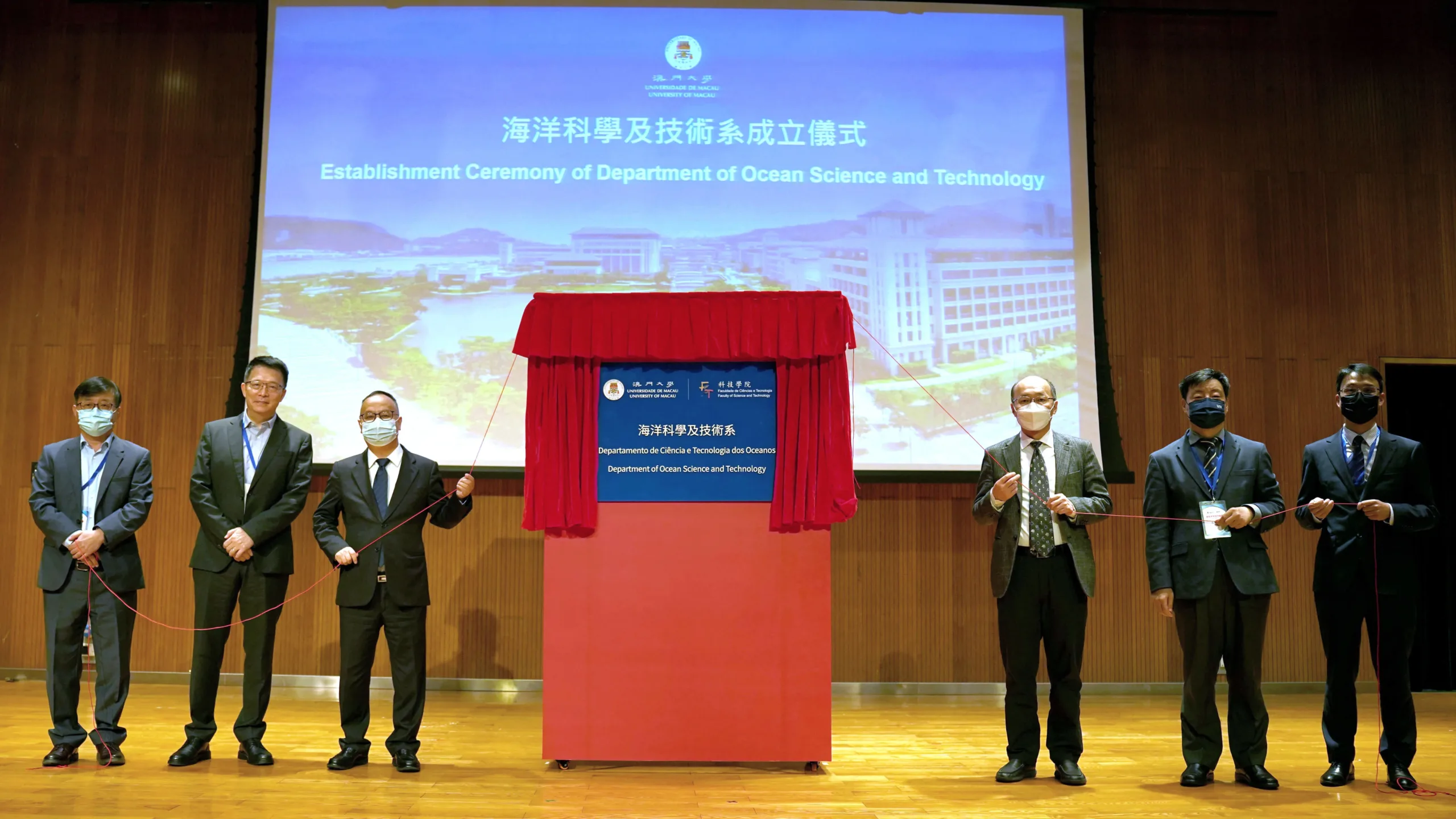
The sustainable development of the oceans is a globally shared concern. In recent years, UM has focused on research and collaboration in ocean science, making regional ocean research one of the three key development directions in its research layout. UM established the Centre for Regional Oceans in 2020, followed by the launch of the Department of Ocean Science and Technology and related postgraduate programmes in 2022. These initiatives aim to promote the cultivation of top-notch professionals and research development in ocean science, as well as to meet the needs of Macao. In 2022, the China-Portuguese Speaking Countries Ocean Research Alliance initiated by UM was also inaugurated, promoting science and technology cooperation and talent cultivation between China and Portuguese-speaking countries in the field of ocean science.
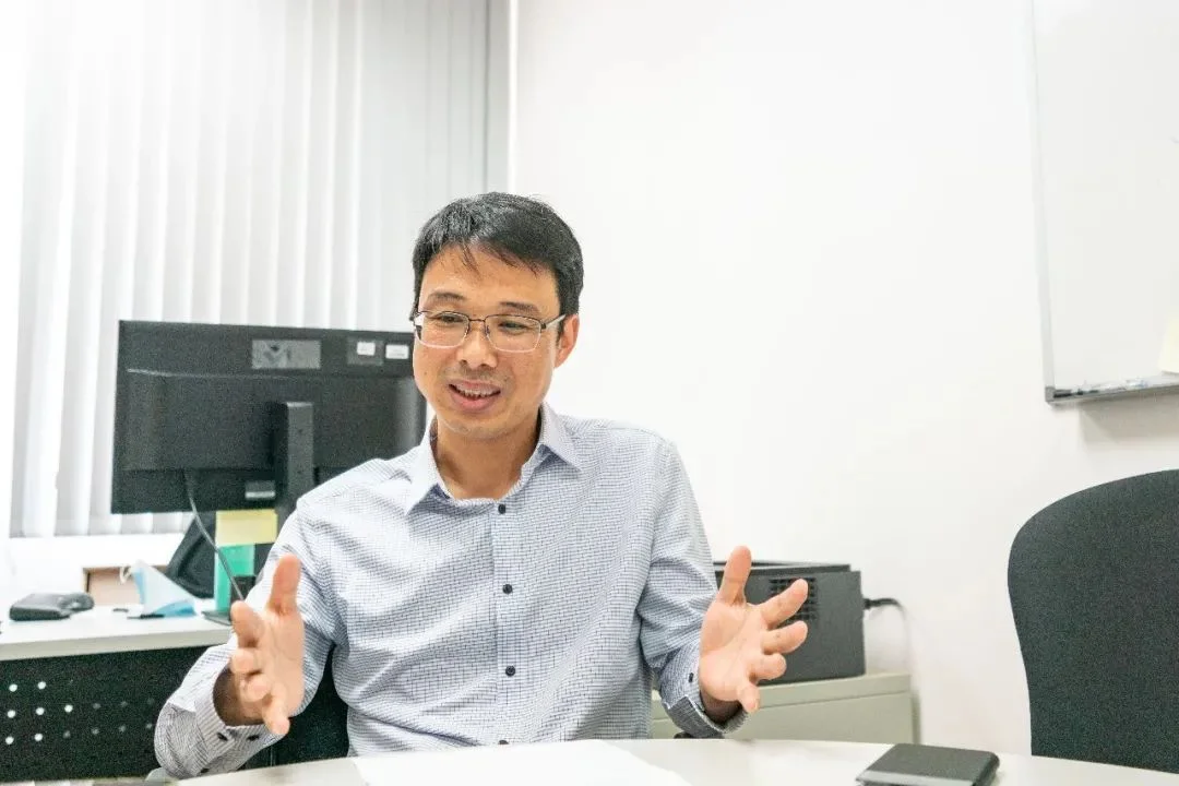
In 2015, the State Council approved the demarcation of 85 square kilometres of waters for Macao, bringing new opportunities for the spatial development of the city and for ocean research. ‘As a coastal city, Macao has launched many large-scale marine projects in recent years, such as land reclamation and the construction of cross-sea bridges,’ says Xu Jie, head of the Department of Ocean Science and Technology and interim director of the Centre for Regional Oceans at UM. He continues, ‘Ocean research can provide technological support for large-scale marine engineering projects, reduce the impact of the projects on the nearby marine ecological environment, and ensure sustainable development and utilisation of Macao’s sea areas.’
Safeguarding marine ecology in the GBA with a ‘land-sea’ approach
As the waters of the GBA are interconnected, the protection of Macao’s marine ecology is inseparable from the study of surrounding sea areas. By focusing on marine dynamics and the transport of substances in the waters surrounding Macao, UM’s research team has developed the ‘Three-Dimensional High-Resolution Simulation System for Estuary-Shelf in the Greater Bay Area’. According to Prof Xu, estuaries and shelves are transitional zones between rivers and oceans, acting as the main pathways for pollutants to pass from land to sea. This system helps researchers understand the sources of marine pollutants and explore their movements as well as the scale of their potential impact.’
The team’s research centers on the impact of nitrogen and phosphorus pollutants on marine ecology, as well as pollution prevention and control measures. Prof Xu indicates that nitrogen and phosphorus pollutants are transported through rivers from upstream in the Pearl River to its downstream and to the sea areas of the GBA, which will lead to eutrophication of the water bodies and which will cause problems including red tides and oxygen depletion in water bodies. He points out, ‘To solve the problem of eutrophication in the waters in the GBA, it is necessary to adopt an approach that considers both the land and the sea. It involves not only effective pollution control measures in downstream areas, but also proper control of nitrogen and phosphorus pollutant emissions in upstream areas. Collaboration among the cities in the GBA has become essential.’
Developing innovative marine technologies
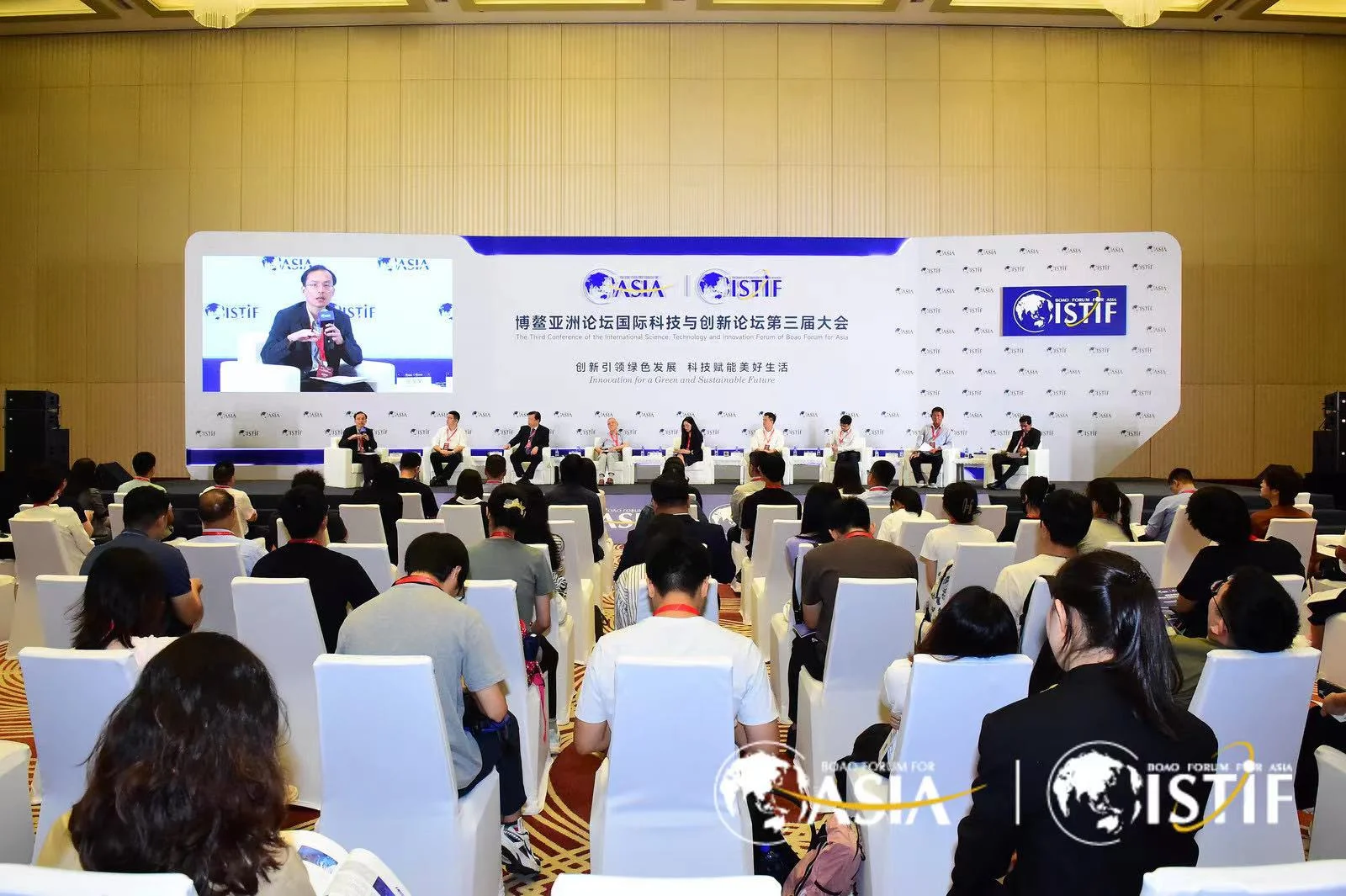
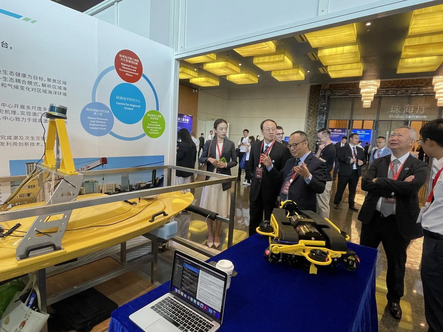
To further monitor the motions and transformation of marine pollutants, the UM team has developed innovative marine technologies, including ocean observation equipment and marine communication technologies, which have improved the monitoring and collection of data, thus supporting the development of frontier research projects. In addition, UM’s autonomous surface craft Delmac and intelligent underwater vehicle Orvis — projects both initiated by UM — were showcased at a parallel session at the Third Conference of the International Science, Technology and Innovation Forum of Boao Forum for Asia in September 2023, drawing attention from experts at home and abroad. These two marine robots enable accurate tracking, patrolling, and the collection and monitoring of high-resolution data. They can provide great help when research teams conduct offshore surveys, thus accelerating UM’s research progress in ocean science.
Prof Xu says, ‘By developing advanced marine technologies, our research team can obtain better data on the physical, chemical, and biological characteristics of nearshore waters, thus advancing frontier research in ocean science.’
Enhancing urban disaster resilience
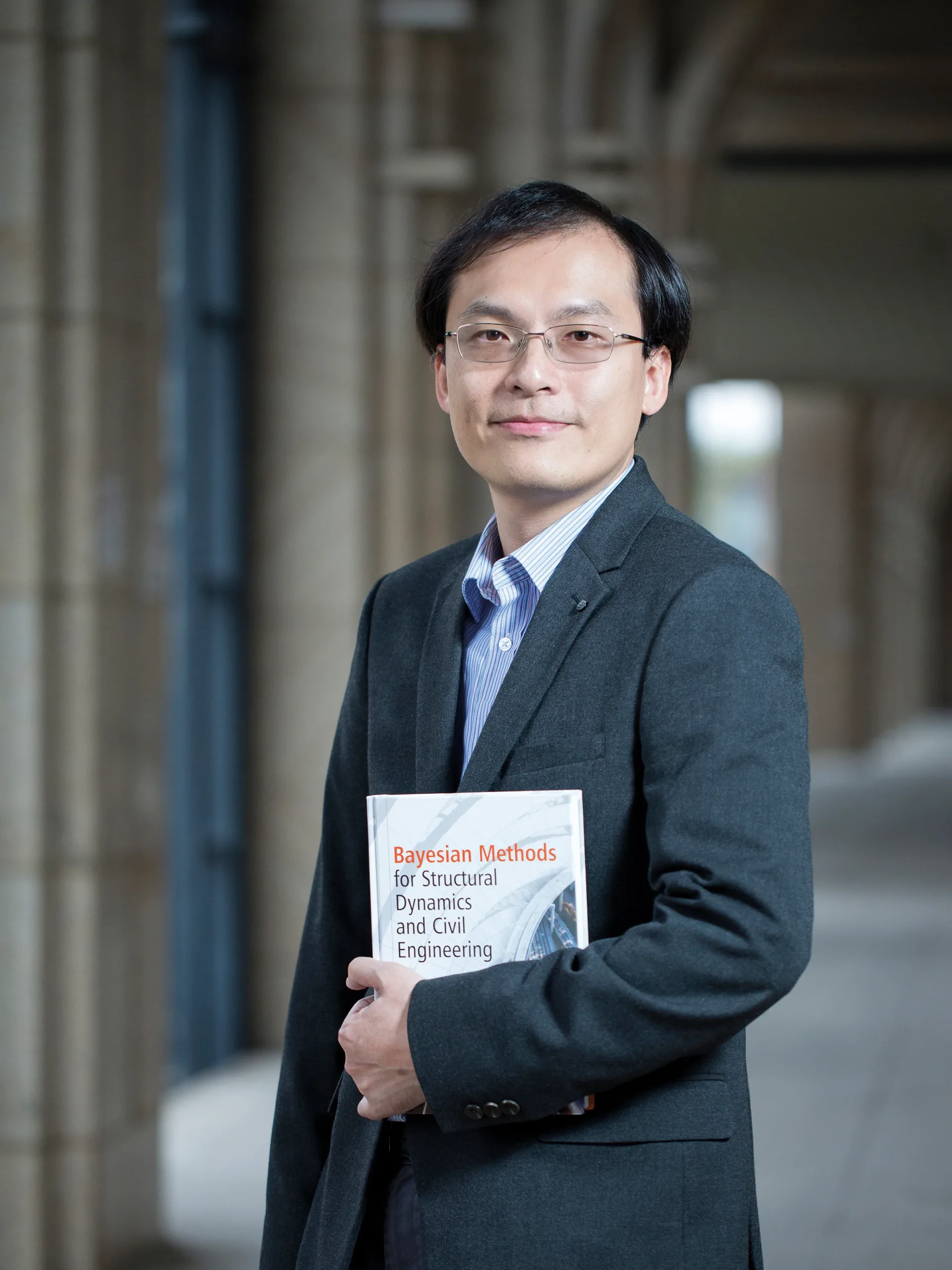
UM’s research team has conducted simulation and risk assessment research on marine disasters such as typhoons and floods, aiming to reduce the impact of these disasters on coastal cities and architecture. Among them, the team formed by Prof Yuen Ka-Veng, Distinguished Professor in the Department of Civil and Environmental Engineering and co-director of the Guangdong-Hong Kong-Macao Joint Laboratory for Smart Cities, and his PhD student Wang Sheng developed a highly efficient identification model based on a feature fusion-based broad learning system last year. The model can forecast typhoons at an average of 13.5 hours before their formations, with nearly 90 per cent accuracy. Additionally, they have utilised remote sensing data about nearshore water levels to accurately assess the power of storm surges, providing early warnings for marine disaster classification and facilitating decision making.
The development of the GBA has seen increase in infrastructure projects such as cross-sea bridges and tunnels, which, however, is also accompanied by challenges in operation safety, particularly during typhoons. Prof Yuen’s team developed the Civil Infrastructure Health Monitoring Platform, which is capable of carrying out intelligent analysis of massive monitoring data in complex environments and under coupled loads. The platform makes it possible to do real-time monitoring of key indicators for health of structures and to predict the health conditions of infrastructures.
Prof Yuen continues, ‘Intelligent and automated means enable early detection of structural damage, extent of damage, and location of damage in infrastructures, which gains us more time to evacuate and reinforce the damaged buildings. We will continue to accumulate practical experience in disaster prevention in coastal cities and monitoring the health of building structures.’
Building a research platform for cooperation
UM remains committed to advancing ocean science through talent cultivation and research innovation. Prof Xu concludes, ‘We actively expand technological innovation in ocean research, striving to facilitate Macao’s integration with the GBA and the national ocean science and technology innovation platform. At the same time, we will continue to leverage the advantages of the China-Portuguese Speaking Countries Ocean Research Alliance to gather the research strengths and resource advantages of its members in the field of ocean science, so as to establish an international platform for cooperation in ocean science and technology.’
Source: My UM ISSUE 127
澳門大學近年聚焦海洋科學的發展,先後設立專門研究中心、學系和學位課程,推動海洋人才培育和研究創新,支持澳門發展。目前,研究團隊就粵港澳大灣區近岸海域的水體污染防治、海岸帶減災防災與海洋技術等方面拓展前沿研究,並與海內外高校及研究機構合作,打造海洋科技合作國際平台。
重視海洋科學發展
海洋的可持續發展,是全球共同關注的議題,澳大近年聚焦海洋科學的研究和合作,把區域海洋研究作為大學科研佈局的三大重點發展方向之一,分別於2020年成立區域海洋研究中心、2022年開設海洋科學及技術系及研究生課程,進一步推動海洋領域的高級專業人才培養和科研發展,滿足澳門社會需求。澳大亦於2022年倡議成立中國與葡語國家海洋科教聯盟,促進中國與葡語國家在海洋領域的科技合作與人才培養。
2015年國務院劃撥85平方公里海域給澳門特區政府,為澳門的空間發展和海洋研究帶來新機遇。「澳門是濱海城市,近年陸續開展不少大型海洋工程項目,如填海造地、建造跨海大橋等。」澳大海洋科學及技術系主任、區域海洋研究中心代主任徐杰說:「海洋研究可以為大型海洋工程項目提供科技支撐,降低工程項目對附近海域生態環境的影響,確保澳門海域的可持續開發利用。」
堅持「陸海統籌」保護大灣區海域生態環境
粵港澳大灣區的水域是相互連通的,澳門海域的生態環境保護離不開對周邊海域開展科學研究。澳大研究團隊圍繞澳門及臨近海域海洋動力過程及物質輸運,研發「大灣區河口-陸架三維高分辨率模擬系統」。徐杰表示,河口陸架是河流和外海之間的過渡區域,也是污染物從陸地進入海洋的主要通道,此系統有助於研究人員理解海域污染物的來源,探索污染物的傳輸過程和潛在影響範圍。
澳大團隊著力研究氮磷污染物對海洋生態環境的影響,以及污染防治措施。徐教授表示,氮磷污染物經河流輸運從珠江上游進入下游及大灣區海域,導致水體富營養化,甚至引發紅潮、水體缺氧等問題。他亦指出「要解決大灣區海域富營養化問題,需要陸海統籌考慮,不僅是下游地區做好污染治理,也要對上游地區氮、磷污染物的排放進行管治,大灣區各個城市的協同合作非常必要。」
開拓嶄新海洋技術
為進一步監測海洋污染物的動態和轉變,澳大團隊開發嶄新的海洋技術,包括海洋觀測設備、海洋通信技術等,完善數據監測和採集,以支撐前沿研究項目的開展。澳大自主研發的水上無人船DELMAC和智能水下航行器ORVIS,2023年9月於「博鰲亞洲論壇國際科技與創新論壇第三屆大會」作實物展示,引起國內外專家關注。這兩款海洋機器人可以實現準確的追蹤和巡邏,以及收集和監測高分辨率的數據,有利研究團隊出海考察,加快澳大在海洋科學領域的研究步伐。
徐杰教授說:「通過發展先進的海洋技術,我們能更好地獲得近岸海域的物理、化學、生物特徵的數據,從而推進海洋科學的前沿研究。」
提升城市防災力
澳大多個團隊對颱風、洪澇等海洋災害開展模擬及風險評估研究,以減少災害對沿海城市及其建築結構的影響。其中,澳大土木及環境工程系特聘教授、粵港澳智慧城市聯合實驗室聯席主任阮家榮與其博士研究生汪勝,去年基於特徵融合的寬度學習系統,開發了一個高效的識別模型,能平均提前13.5小時預報颱風生成,精確度達九成。另外,他們還利用近岸水位遙感數據,來準確掌握風暴潮的威力,為海洋災害級別預警和輔助決策。
大灣區內跨海大橋、跨海隧道等基建眾多,面臨安全運營的挑戰,尤其當面對颱風的威脅。阮教授帶領團隊開發了「城市基礎設施健康監測平台」,可在複雜環境和荷載耦合作用下,對海量監測數據作智能分析,能及時監測結構健康的關鍵指標和預測基建的健康狀況。
阮教授說:「通過智能化、自動化手段及早發現基建的結構損傷、受損程度和破損位置,有助爭取更多時間撤離和對建築物補強。我們將持續積累濱海城市防災及建築結構健康監測等實踐經驗。」
打造科研合作平台
澳大將繼續透過人才培養、研究創新,推進海洋科學向前。徐杰教授表示,澳大團隊積極拓展海洋研究的技術創新,助力澳門更好融入大灣區及國家海洋科技創新平台建設,發揮澳門區域優勢,匯聚中國與葡語國家海洋科教聯盟各成員於海洋科學領域的科研實力及資源優勢,打造海洋科技合作國際平台。
來源:《澳大人》第127期

